
Louisville ZIP Code Directory Coverage
The official Louisville ZIP group is unusually easy to misread. USPS Postal Explorer tables pair 80027 and 80028 under the Louisville destination line, but the research record does not publish a complete current delivery map for every address. The table keeps the verified postal evidence separate from the municipal question.
| ZIP | Areas Covered | Post Office | Notes |
|---|---|---|---|
| 80027 | Primary Louisville mailing place; the delivery edge is address-specific | Louisville last line retained in USPS records; a current location result labels a Louisville facility at 566 S McCaslin Boulevard, Superior, CO 80027-9998 | Verify the street and unit with USPS; postal place and city boundary are different fields |
| 80028 | Paired with Louisville in USPS 5-digit scheme tables | No separate current station or route explanation was exposed in the reviewed USPS text | Do not assume every 80028 address is inside Louisville; verify each address live |
80027 is the stable Louisville last line in the material reviewed. 80028 is a verified paired code in the archival scheme, not a license to assign every nearby address to Louisville. The right answer for a particular property comes from the complete address lookup, then from the parcel and municipal layers that describe physical location.
Why Louisville Keeps 80027 as a ZIP Code
Postal history explains why a post-office building and a postal code should not be treated as the same thing. USPS records say Louisville’s classified Downtown Station at 80027 was discontinued effective January 31, 2009, while the ZIP was retained. A 2010 Postal Bulletin entry recorded a new main-office entry. The last line continued to read Louisville CO 80027 even as facility evidence changed.
A current USPS location result labels a Louisville facility at 566 S McCaslin Boulevard in Superior, with the 80027-9998 ZIP+4 line. That result is useful evidence about delivery administration, but it does not redraw Louisville’s municipal edge. A postal place, a delivery facility, and the situs of a parcel are three separate facts.
For a historical address, preserve the postal wording exactly as printed. An old directory may use Louisville, a mine neighborhood, an addition, or a county town label without the modern city and ZIP line. Those labels can be bridged with a cross street, plat, lot and block, parcel number, or Sanborn sheet. Do not normalize a historical source before recording what it actually says.
USPS Fields Behind a Louisville ZIP Lookup
The USPS lookup exposes three different questions. The complete-address mode asks for a street address, optional apartment or unit, city, state, and optional ZIP. The city-and-state mode returns ZIP choices for a place name. The reverse mode starts with a ZIP and returns cities associated with it. The Find control runs the selected mode, and the postal notice says a result does not confirm that a person or company is at an address.
The USPS address lookup is the source for the address-level check used in a Louisville postal directory.
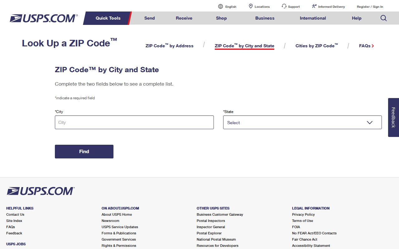
The lookup controls show why a city-only search is not enough. A full street and unit can return a more precise delivery result, while a ZIP-to-city result describes postal association rather than municipal residence.
ZIP+4 adds delivery detail to the five-digit code. It can help verify a mailing line, but it does not become a parcel identifier, a household list, or proof that a person occupies the address. Keep the postal result with its retrieval date and the exact input string.
ZIP Lines and Louisville City Limits
ZIP boundaries are delivery constructs. Louisville city limits are municipal boundaries. Boulder County parcel maps and Louisville planning maps answer the second question, while USPS answers the first. A property can carry a Louisville mailing city while sitting near or beyond the municipal line, and a city-edge property can use a neighboring postal place. The mailing line alone cannot settle the city question.
Boulder County GIS and the Louisville online maps expose parcels, zoning, subdivisions, planned-unit developments, floodplains, historic landmarks, and other planning layers. Those layers provide context for a parcel, but the county warns that property and GIS estimates are not survey quality. A boundary dispute needs the appropriate legal or survey source, not a postal directory result.
Boundary check. Use USPS for delivery, the county GIS and city planning maps for place and parcel context, and the assessor legal description for the record key. Never use a ZIP alone to decide whether an address is inside Louisville.
Four Address Strings Behind a Postal Code
One Louisville property can carry four address strings at once. They may look similar, but each one keys a different system. Copying only the postal line into a property search can lose the parcel, while copying only the situs line into a mailing search can return a different result.
- Situs or property address
- The physical location used by the assessor, GIS, permits, zoning, and parcel maps. It is the address on the ground, not always the tax mailing line.
- Mailing address
- The place where tax or official correspondence is sent. It may use another city or ZIP and may belong to an entity, family member, or agent.
- Legal description
- Subdivision, lot and block, tract, section, township and range, or other deed and plat language that identifies the land interest.
- Postal last line
- The city name and code selected by USPS delivery rules. It describes the mailing route and is not proof of municipal residence.
Historical Louisville sources may preserve a fifth clue in practice: a mine neighborhood, church map, addition, or cross street. That label is not a substitute for the four formal strings, but it can bridge an old directory entry to a modern parcel when the street number changed.
ZIP Filters in Louisville Property Records
ZIP-capable portals do not all return the same kind of result. The assessor can search several property keys but does not document a button that returns every parcel in a ZIP. EagleWeb accepts optional city or ZIP with a situs street number and name. The Colorado voter lookup requires ZIP as one of four person-matching fields. These are filters with different evidence roles, not interchangeable resident rolls.
| Interface | Fields | What ZIP Adds | Limit |
|---|---|---|---|
| Boulder County Assessor | Address, owner, street, subdivision, account, parcel, S-T-R; map and municipality controls | Mailing ZIP appears in the documented owner/address schema | No documented ZIP-wide output; owner is not every occupant |
| Treasurer EagleWeb | Street number and name with optional city or ZIP; account, parcel, owner, legal description, sales | Narrows a situs search or supports a postal clue | Current page says information is without warranty and has no owner shortcut |
| Colorado voter lookup | First, last, ZIP, birthday | Helps match one registration record | Not a ZIP-wide list; protected and confidential voters may be absent |
| USPS lookup | Street, apartment or unit, city, state, optional ZIP; city/state; ZIP-to-city | Verifies the delivery code and postal place | Does not confirm a person or company at an address |
The Boulder County EagleWeb search shows the address, owner, parcel, legal-description, sales, and optional ZIP modes.
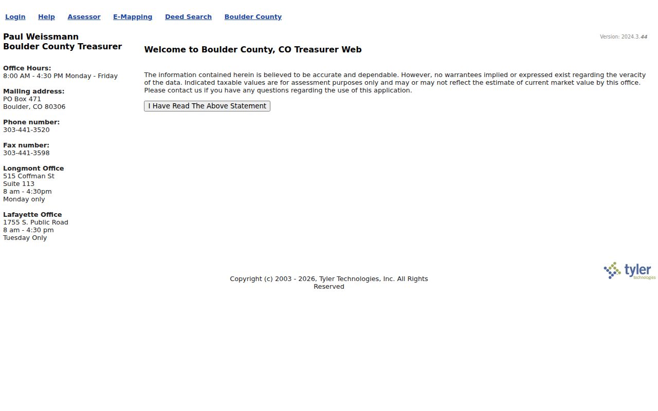
EagleWeb can narrow a property inquiry, but its optional ZIP field does not prove that a Louisville ZIP describes the city boundary or a person’s residence.
The assessor also publishes daily CSV and GIS datasets for owners and addresses, accounts and parcels, buildings, land, permits, sales, tax areas, values, and boundaries. The Boulder County assessor data-download entry documents those public files and the county’s as-is warning.
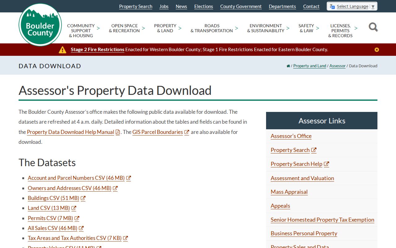
Downloadable address data can support a dated area analysis, but a refreshed file still needs the assessor’s field labels, the parcel key, and a check against the postal result.
Note: A ZIP filter narrows a source; it does not make that source a complete Louisville resident directory.
Historic Additions Explain ZIP Confusion
Louisville’s record geography predates the modern postal code. The historic map anchors the Town of Louisville to 1878, followed by Johnson’s Addition and other 1890s growth, Pleasant Hill Addition in 1893, Capitol Hill Addition in 1901, Barclay Place and Jefferson Place in 1904, Corrigan Addition in 1906, and Louisville Heights, Nicola Di Giacomo, and Kimberly Addition in 1907. Acme Place, Parbois Place, Murphy Place, and later planned neighborhoods add more layers.
The contemporary comprehensive plan groups the city into Coal Creek, Hecla, North Louisville, Davidson Mesa, Lake Park, Old Town, Hillside, Fireside, and South Louisville. Those are planning and geographic labels, not postal identifiers. An old directory may identify one of these eras, a mine neighborhood, or a county town without a postal code at all. Bridge the name with a plat, cross street, lot and block, Sanborn sheet, assessor legal description, or recorder instrument.
No official Louisville-wide street-renumbering, renaming, or annexation crosswalk with effective years was located. That gap matters when a historical address seems to fall outside the current postal directory. Keep the old wording, then test the parcel and postal layers separately.
Find One Address in the Louisville ZIP Code Directory
A ZIP search is most reliable when it starts with an address rather than an assumed city label. The steps below preserve the postal clue, then hand the result to the property and municipal sources that can test physical location.
- Write the complete street address, apartment or unit, city, state, and any ZIP already attached to the record. Keep the source wording unchanged.
- Run USPS’s complete-address mode and save the returned five-digit ZIP, ZIP+4, city line, and retrieval date.
- Use the assessor or EagleWeb with the situs street number and name. Treat the ZIP as an optional narrowing clue, not as the parcel key.
- Open the county GIS and Louisville planning layers to compare the parcel, subdivision, municipal edge, and postal place.
- Once the ZIP has narrowed the question to a street, continue with the Louisville by-street records workflow for parcel, deed, and address evidence.
This sequence also works for a historical address, with one extra step: search the old plat, map, or directory before replacing its street label with a current one. A postal match can validate how mail is addressed today, but it cannot rewrite the historical record.
Nearby Postal Areas Are Not Louisville Coverage
Adjacent Boulder County communities can appear in a Louisville mailing search because postal routes and municipal boundaries do not share one map. A nearby postal place may be the last line for an address outside Louisville, while a parcel near the city edge may use a postal name that does not match its municipal label. The official Louisville ZIP group should therefore remain limited to the codes documented for Louisville.
Do not import a nearby ZIP into the Louisville postal directory simply because the street is close to the city. Confirm the full address with USPS, then check the parcel’s situs, legal description, subdivision, and municipality in county or city records. If the sources disagree, preserve the disagreement and ask the relevant custodian which field controls its own record.
The same rule protects person searches. A postal city does not establish that a person lives in Louisville, and an assessor mailing ZIP does not establish that the owner occupies the situs parcel.
A Dated Louisville ZIP Result
Population figures are useful local context, but they do not define a postal code. Census QuickFacts reports a 2020 Census population of 21,226, a July 2024 estimate of 20,811, and a July 2025 estimate of 20,581. A Louisville community profile reports a different estimate and household count because it uses a different date and method. Those figures should never be used to infer how many addresses belong to 80027 or 80028.
Record the exact source, input address, city line, ZIP field, ZIP+4 when available, parcel key, and retrieval date. A Louisville postal-directory result is strongest when another source can explain its evidence role: USPS for delivery, assessor or EagleWeb for property fields, GIS for map context, voter lookup for one registration match, and planning records for a municipal question.
Note: Postal, parcel, legal, and census data describe different systems, so a dated source note is part of every trustworthy ZIP conclusion.