
Louisville Neighbors by Block Layer
A block lookup is a set of linked records, not a single Louisville resident file. The county map supplies geography. An assessor card supplies parcel and owner fields. The recorder supplies legal instruments, while permits and planning files add dated project context. Voter records have their own individual search and confidentiality rules. Historical directories and the museum can show earlier occupants or community life. The coverage table keeps each source tied to the question it can answer.
| Source | What It Shows About a Block | Access |
|---|---|---|
| Louisville E-Mapping parcel view | Contiguous parcels, parcel IDs, and map layers around an address | Free public map; manual pan, zoom, and click |
| Louisville assessor property search | Owner, mailing and property address, legal description, sales, buildings, and values | Free search and parcel-card access |
| Louisville recorder index | Deed parties, legal descriptions, reception references, and images when available | Free index and watermarked images; copies charged |
| Louisville voter lookup route | One registration match using first name, last name, ZIP, and birthday | Individual lookup; authorized file request has separate rules |
| Louisville CSS and county permits | Reviews, inspections, applications, attachments, contacts, and address-linked work | Public search; account or request route for some actions |
| Louisville planning and map layers | Neighborhood areas, subdivisions, PUDs, zoning, floodplain, and historic context | City maps, planning records, and specific requests |
| Louisville historic directories and museum sources | Earlier occupants, businesses, photos, newspapers, and community memory | Carnegie, museum, digital catalogs, and appointments |
| Louisville city departments and civic contacts | Ward, service, planning, business, and public-record pathways | Official department links; no consolidated member roster |
The official layers are strongest when they are read together. For a Louisville block, a parcel owner is not automatically a household member. A permit contact is not automatically an owner. A historic directory entry is not a current result. Preserve the source date, parcel ID, and relationship between the target address and each nearby parcel before drawing a block-level conclusion.
Note: A block layer is strongest when each parcel ID, source date, and relationship to the target address stays recorded.
Map Louisville Neighbors One Parcel at a Time
The county's documented adjacent-parcel method is manual. For Louisville neighbors, search the target address in E-Mapping, open the parcel result, and keep the account or parcel ID beside every note. Then move outward by map position instead of assuming that a software radius contains the right properties. The text inspection did not expose a dedicated buffer, radius, or all-neighbors button. A street or alley can also change how a parcel relates to the target.
- Search the target address in the Boulder County E-Mapping and property-search application, then confirm the parcel result.
- Copy the target parcel ID, account number, legal description, subdivision, property address, and mailing address before moving the map.
- Pan and zoom to click each parcel touching the target, plus parcels separated by a street or alley that matter to the block.
- Label each result north, south, east, west, across the street, or across the alley, and keep the map layer and date beside it.
- Compare each parcel card with deed, permit, planning, or historic records only when the question calls for that added layer.
For the full named-street chain, use the address-keyed workflow in the Louisville by-street directory. The block method stays narrower: it builds an auditable Louisville ring around one address without pretending that every person near the parcel is publicly named.
Louisville Property Records Around an Address
Compare the same fields across each adjacent parcel. The Louisville Assessor Property Search can show a situs property address, account number, 12-digit parcel number, subdivision, neighborhood, market area, legal description, owner, mailing address, tax year, actual values, sales, building details, zoning or septic panels, permit and docket information, and floodplain context. The county's published field schema also separates owner, mailing, situs, sales, grantor, grantee, and reception fields. Those distinctions keep a map browse from turning into a list of supposed occupants.
- Situs address
- The physical property address used to locate the parcel. It is not the same as the tax-mailing address.
- Parcel identity
- The account number, 12-digit parcel number, legal description, subdivision, and map position that anchor a record to land.
- Ownership and contact
- The owner and mailing fields supplied by the property record, which can belong to a trust, business, estate, or out-of-area owner.
- Sales and deed link
- Sale date, grantor, grantee, reception number, sale price or code, and a route to the recorder report when shown.
- Land and work context
- Building, value, zoning, septic, permit, docket, floodplain, and comparable-sale panels that describe the property rather than every household.
The county also publishes daily public datasets for Louisville owners and addresses, accounts and parcels, buildings, land, permits, sales, tax areas, values, and GIS boundaries. They refresh around 4:00 a.m. and carry an as-is warning. A downloaded row can support repeatable parcel comparison, but a current owner still does not prove current occupancy. Keep a clear note when a mailing address points somewhere else.
Louisville GIS Layers for Block Context
Boulder County GIS has maintained county mapping since 1987 and publishes parcel, zoning, floodplain, land-use, open-space, road, wildfire, precinct, tax, and related layers. The public map exposes map, zoom, pan, click, Status, Clear, and Municipalities controls. A coordinate view uses Easting, Northing, and Locate in NAD 1983 HARN StatePlane Colorado North, in US feet. The map is useful for seeing how a Louisville parcel sits within a subdivision or planning area, but it is not a survey.
Louisville's online maps add zoning, overlays, historic landmarks, subdivision plats, PUDs, floodplains, and general property information. Compare a map layer with the parcel's legal description and the actual street or alley. If a boundary question remains, the county's GIS guidance points to a licensed surveyor. A map outline can frame the block, while the recorder and assessor supply the record identity.
Note: A mapped parcel helps locate the next record, but it cannot replace a survey or name every household.
Louisville Voter Records at Block Level
Colorado does not provide a public button for everyone around an address. The ordinary Secretary of State lookup asks for an individual first name, last name, ZIP, and birthday. A recent move may require the prior ZIP, and a search can fail when a registration is confidential or the person is under 18. The exact public search fields are narrow by design.
| Field | Use in the public lookup |
|---|---|
| First | Required first name, entered as it appears on the current registration |
| Last | Required last name; the state notes single-name matching guidance |
| ZIP | Required ZIP used to narrow the individual match; an old ZIP may help after a move |
| Birthday | Required date in MM/DD/YYYY format for matching |
| Search control | Submit or search control; the live result fields should be read without reproducing a private person's data |
State guidance says public voter-file fields can include full name, residential address, party and affiliation date, birth year, prior-election participation, and optional phone or gender when provided. Full date of birth, Social Security number, identification number, signature, and email are confidential. An authorized voter-data request is a separate state product with its own form, fee, delivery, and use limits. A Louisville voter may be protected, in an Address Confidentiality Program, or covered as a first responder and absent from ordinary results. No voter record reveals ballot choice.
Nine Planning Areas Shape Louisville Blocks
Louisville's planning map gives a block a civic geography without creating a member list. The nine named planning areas are Coal Creek, Hecla, North Louisville, Davidson Mesa, Lake Park, Old Town, Hillside, Fireside, and South Louisville. A target parcel can also sit in a subdivision or planned unit development whose name explains why nearby lots share a build era, plat, permit history, or street pattern.
Research surfaced Centennial, Cornerstone, Coal Creek Ranch, Cherrywood, Enclave, Sundance, and other Louisville additions as development or subdivision labels. Historic areas and later PUDs are not interchangeable with an association roster. Use a plat, planning record, parcel card, or city map to verify the geographic label. City Council wards add a current civic boundary and representative route, but a ward contact is not a list of the people who live in it. This is useful block context, not a directory of Louisville neighbors.
Louisville Civic Contacts, Not Member Rosters
Public civic contacts can help explain who holds a record or which service touches a block. They do not supply a verified list of association members. The city departments gateway links to the City Clerk, Planning, Building Safety, Parks, Fire Protection District, Chamber, Downtown Business Association, and other official routes. Use the named office for a specific record or public contact, and do not infer a private household from a general organization link.
City Clerk and CORA
City records, elections, licenses, municipal-court routing, and public-record requests. It is not a general resident-search office.
Planning and map records
Subdivision, PUD, zoning, historic-landmark, floodplain, and property-map context for a parcel or block.
Chamber and Downtown groups
Business and civic context may lead to a public organization contact, but no consolidated household roster was verified.
Current contacts route through the city departments gateway.
Historical Museum
House, family, neighborhood, newspaper, photo, and oral-history context through a research contact or appointment.
No official consolidated Louisville neighborhood-association or member directory was located in the research. The gap is important: planning areas, civic groups, wards, and public service contacts should be presented as resources, not as an invented association roster. The research lists 303-335-4536 for City Council ward questions; Fire Protection District routing remains on the official departments page.
The Louisville departments directory is the source for the civic-contact image below.
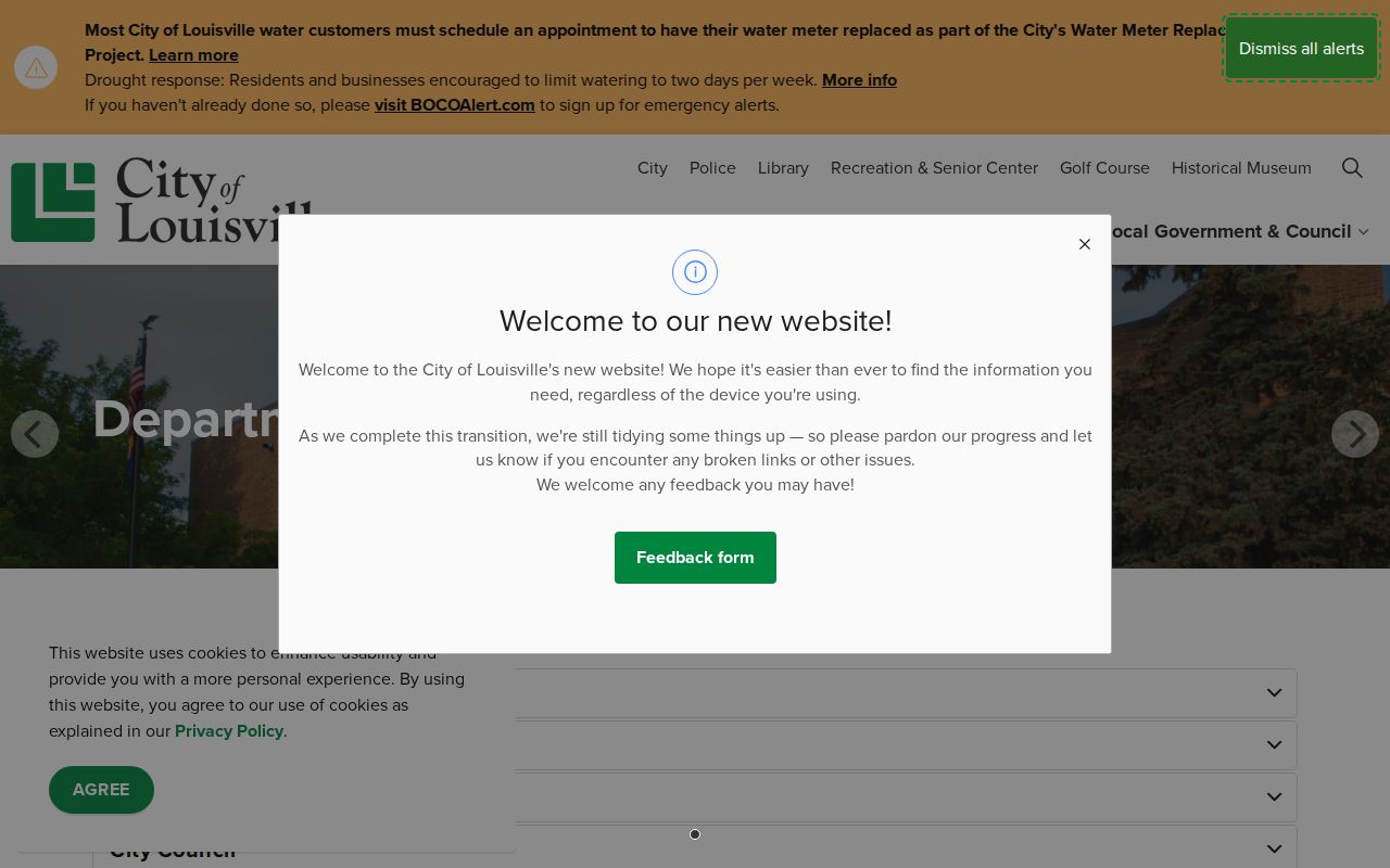
The directory is a routing layer for official offices and services. It helps identify the right custodian without turning a public department page into a list of private neighbors.
Note: The city’s planning areas and civic contacts provide geography without creating a public membership list.
Louisville Community History Without a Roster
The Louisville Historical Museum adds a people-and-place layer that is valuable for block history. Its collections focus on families, houses, photographs, maps, oral histories, newspapers, and the coal-mining-era community. The online photo catalog can be searched by a family name or street address, and a catalog number supports a reproduction request. The museum's Marshall Fire memory project sorts submitted homes, neighborhood activity, organizations, and schools by geographic region while deliberately avoiding names in photographs for privacy.
Carnegie Local History and the Boulder Historical Society collection extend the search across Boulder County through newspapers, maps, ledgers, diaries, family papers, and organization records. These sources can explain why a street or group mattered to a Louisville block, or show how a neighborhood changed. They are historical collections, not current Louisville neighbor directories. Ask for a person, address, date range, or organization, and preserve the catalog description instead of treating an unlabeled photo as proof of identity.
Louisville Neighbor Sources: Official and Commercial
Official records and commercial address-aggregation tools answer different questions. A commercial tool may combine public and marketing data into a quick nearby-household view, but it can merge stale addresses, duplicate a person, or omit a protected record. The official Louisville path takes longer because it preserves the parcel, source date, legal description, and custodian. That slower pace is useful when a block question involves property history, civic context, family reconnection, or a possible record error.
| Source category | What it can add | What it cannot prove alone |
|---|---|---|
| Official GIS and parcel map | Which parcels touch or sit near the target, plus planning and land layers | Survey-grade boundaries or the names of every household |
| Official assessor and recorder | Owner, mailing or situs fields, legal description, sales, and deed parties | That an owner or deed party lived at the property |
| Authorized voter data | Public registration fields tied to eligible address records | Protected voters, every occupant, or ballot choices |
| Permit and planning files | Dated work, reviews, inspections, applicants, and project documents | Current residence or a complete household list |
| Commercial neighbor tools | A fast, combined lead about nearby address records | Freshness, completeness, lawful use, or a verified person-to-parcel match |
Do not copy a commercial result into an official Louisville record note. Start with the parcel ID and move to the custodian when the question needs proof. If the goal is a whole street rather than the immediate block, the by-street workflow has a different scope and record chain.
Privacy Limits on Louisville Neighbors
Some nearby people will not appear in a public result, and that absence can be lawful. Louisville household members, utility customers, delivery data, and motor-vehicle address information are not a public block layer. Colorado voter confidentiality rules and the Address Confidentiality Program can protect an address. The federal Driver's Privacy Protection Act limits personal information from motor-vehicle records. The Colorado Privacy Act and Global Privacy Control address covered business processing, not deletion of a legally retained county deed, court pointer, or voter record.
Privacy and lawful use. Block research is suitable for local context, family reconnection, civic curiosity, and personal safety awareness. It does not authorize surveillance, repeated unwanted contact, intimidation, or publication of a protected address. Colorado's stalking statute, C.R.S. §18-3-602, and harassment statute, C.R.S. §18-9-111, apply alongside source-specific confidentiality rules.
When a record is wrong, ask the custodian about correction, amendment, redaction, or annotation. When a person is protected, use the relevant county, city, state, or ACP process. A Louisville neighbor search stays trustworthy when it reports what the parcel, office, map, or historical source actually shows, and leaves private household details out.